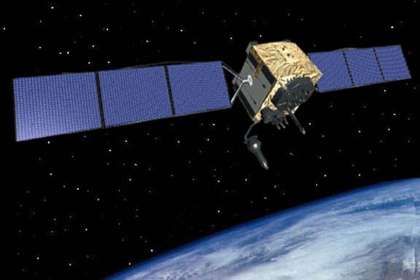
The origin of civilian uses of GPSby Richard Easton
|
| Contrary to these assertions, civilian uses were built into the GPS system from day one. |
Sebastien Roblin wrote for War is Boring in 2017: “And two weeks after the accident, Reagan announced he was making Global Positioning System technology freely available for civilian use due to the mind-boggling navigational errors which led to the tragedy. Prior to that, GPS had been reserved for the military. Of course, GPS would likely have ended up in civilian use one way or another—but the Flight 007 catastrophe was the catalyst that finally made civilian GPS a reality, and may have facilitated its earlier adoption.”
Noted historian and biographer Walter Isaacson made similar errors in his new podcast series. Simon Winchester made the same assertion in his excellent book The Perfectionists: How Precision Engineers Created the Modern World. It’s unclear where idea error originated, but Steven Johnson stated it in his 2010 book Where Good Ideas Come From: The Natural History of Innovation. A TED talk he gave makes the same point. One can find many talks on YouTube asserting that civilian use of GPS arose after the shooting down of KAL007.
Contrary to these assertions, civilian uses were built into the system from day one. The first satellite navigation system was Transit; its formal name was the Navy Navigation Satellite System. Proposed in March 1958, it became operational in the 1960s and civilian uses soon followed. Transit was a major advance but it had limitations. It was a two-dimensional system that was available about once an hour. The Pentagon soon decided that it needed a three-dimensional, all-weather, continuously available worldwide system.
On April 17, 1973, William P. Clements, Jr., Deputy Secretary of Defense, ordered the establishment of a Joint Program Office, led by the Air Force, to develop a precision navigation system. The resulting Global Positioning System, or GPS, synthesized the Navy’s Timation, for TIMe navigATION, and the Air Force/Aerospace’s Project or System 621B. His memo stated that:
The joint Program Office would invite concerned non-DoD Government agencies to participate in the DNSDP [Defense Navigation Satellite Development Plan], including program planning, user equipment design, and system tests. In addition, civil user needs should be considered in the design of space-borne equipment.
| GPS was always designed with civilian uses in mind. |
The Navstar Global Positioning System Project Management Plan July, 1974 states on page 2-9, “The C/A Signal will serve as an aid to the acquisition of the P Signal, and will also provide a navigation signal in the clear to both the military and civil user.” [emphasis mine] GPS was used by civilians prior to 1983 as demonstrated by the TI 4100.
Thus, GPS was always designed with civilian uses in mind. It was discussed in two 1973 Aviation Week and Space Technology articles. The classified aspects of the program were the estimated accuracy and aspects of the encryption of the military signal, but the system’s evolution was well known at the time. It’s unfortunate that reporters either don’t have the time or the inclination to dig deeper into the background of GPS.
Note: we are temporarily moderating all comments subcommitted to deal with a surge in spam.